Legacy data is in many cases still suitable and could be turned into valuable additional information by applying modern processing and interpretation methods. Our team of experts is well suited to conduct due diligence and assess legacy data packages to avoid wasting this potentially valuable information.
We are Steiger
About us
Steiger is a European-based mineral exploration services provider focusing on high quality research and survey methods.
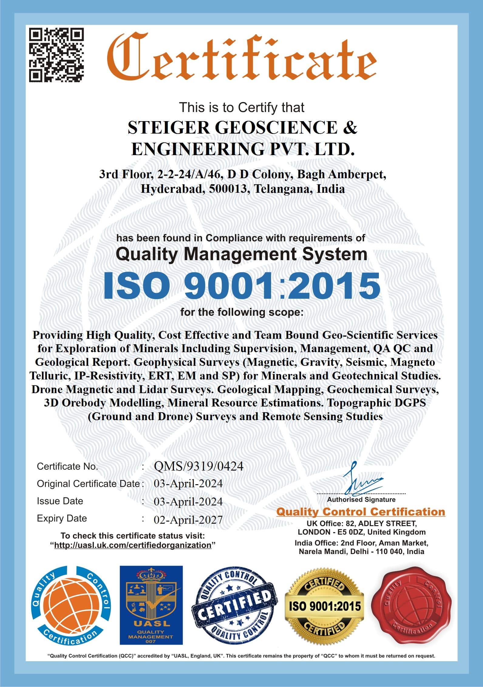
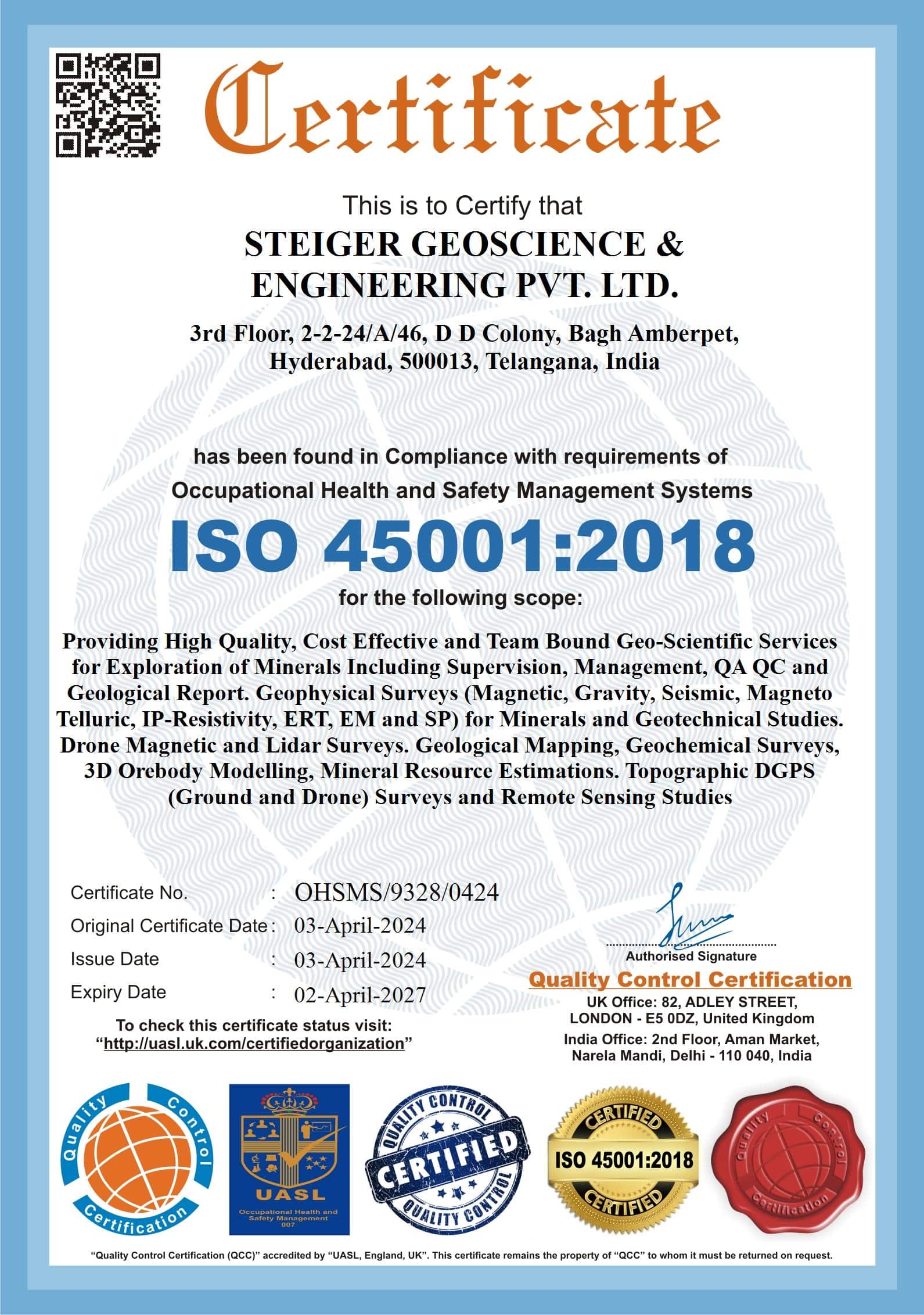
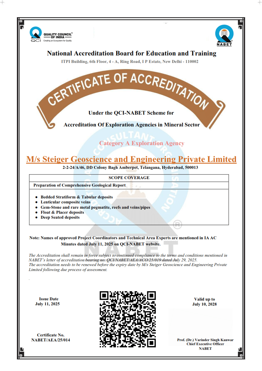
We are NABET accredited Government Notified Private Exploring Agency and also hold ISO 9001, 14001 and 27001 certificates as a proof of our commitment to high quality and transparency.
Steiger was established in 2004 as a mining consultancy, Engineering Bureau Steiger based in Estonia. Throughout the years our local market share and range of offered services increased. In order to keep on growing, we have expanded our operations to international markets and in 2020, we established a subsidiary – Steiger Geoscience and Engineering based in India.
Our name comes from the old German mining term „steiger“, which means foreman or overman of the mine. The word is derived from the German word (steige(r)nd) – to rise up or to come to the light and was adopted as a term already in the middle ages.
Throughout the history safety has always been the one main concerns in mining. Steiger’s task was to ensure that men who descended into the mine in the morning would safely come back in the evening!
International experience
We have completed large scale projects in Near East, Europe, South-America and India.
Our expert staff has also been providing services in Algeria, Australia, Belgium, Croatia, Iceland, Morocco, Newfoundland and Labrador islands, Serbia, Siberia (Tuva), White sea islands, Ural mountains, Uganda, Rwanda, Ukraine etc.
Values
“Our goal is to offer the best and safest solutions when it comes to mining, so we could create a bridge between the benefits received from the consumption of natural resources and the environment.”
Vision
To be a market top provider with a comprehensive range of services for the extractive industry.
Why Steiger?
- European standards in exploration and safety
- International experience
- Highly qualified employees
- Full-package services
- Wide variety of offered services
- Cutting edge technology used in surveys and modelling
Certificates

List of our services
Geophysical services
Legacy data assessment and due dilligence
Remote sensing and desktop studies
Remote sensing can help cover large areas cost-effectively and gather first-hand information about geology. While the data is collected using commercial satellites, the work can be done as a desktop study. This makes remote sensing an easy and cost-effective early exploration stage solution.

Ground surveys
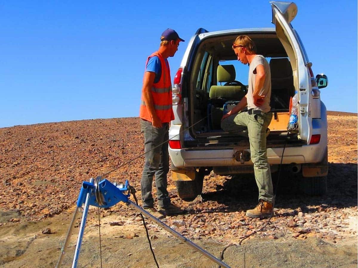
Ground geophysical surveys allow rapid and effective collection of first-hand information on subsurface geology. We provide seismic reflection, gravimetric, electrical resistivity, magnetic & electromagnetic, and ground penetrating radar surveys.

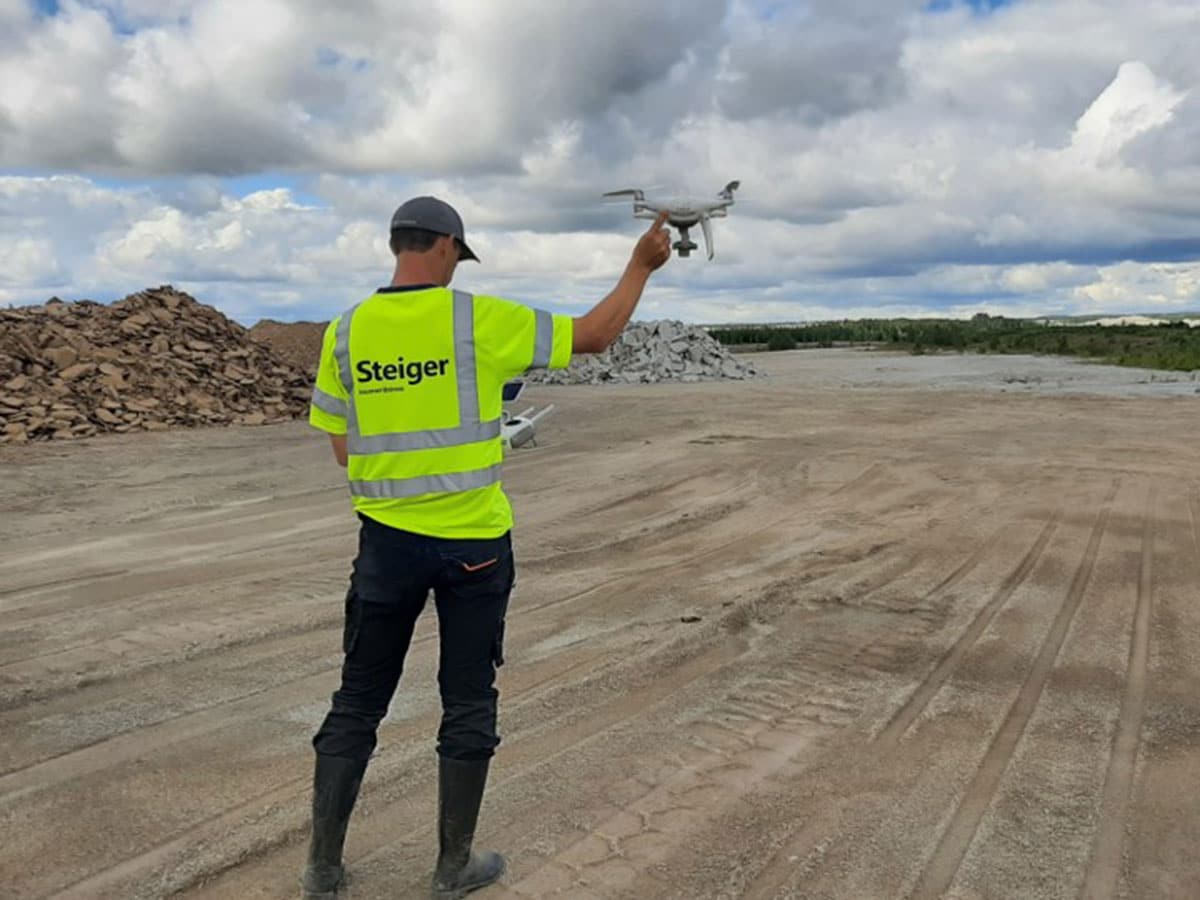
Drone survey
The rapid development of drones has opened up new opportunities in the fields of geospacial and geophysics, providing additional data gathering methods which can be a better alternative to conventional ground surveys. We provide magnetic, LIDAR, and photogrammetric drone surveys that are effective alternatives for covering large or hard-to-access areas.
Downhole surveys
Downhole surveys allow for more information to be collected from the drilled holes and provide a reliable, cost-effective substitution for some of the studies usually made from physical core/chip material. We provide density & natural gamma, magnetic, EM, resistivity, caliper, acoustic & optical televiewer, and flowmeter surveys.
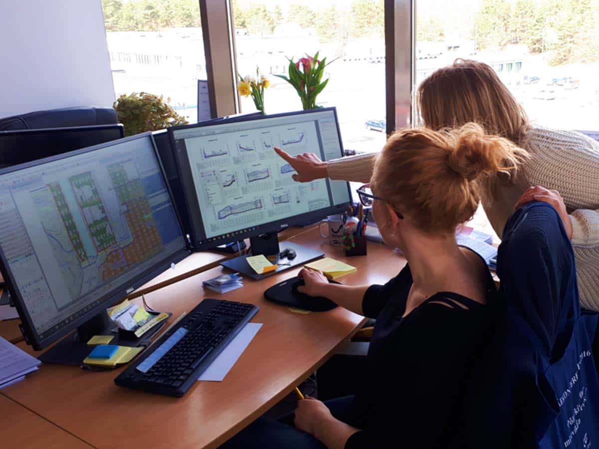
Data interpretation and target generation
Data analysis and interpretation is an extremely crucial step in generating targets. Our well-rounded team of geophysicists are experienced in working with large internal or external datasets on a wide range of commodities.

Mineral exploration
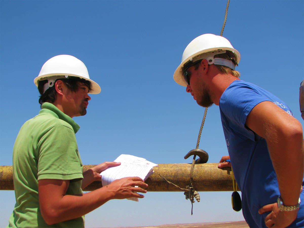
Exploration planning and management
Budget and timeline are the two critical components of any exploration plan. Additionally important is choosing proper risk management approaches to avoid overspending, delays, and HSE incidents. Our experienced in-house project geologists are capable of setting up and executing demanding and multidisciplinary exploration programs.

QA/QC procedures and supervision
Exploration requires proper procedures and prudent risk management for success. Project-specific operational procedures will ensure consistency in data generation and, if needed, allow the exploration results to be disclosed by the Competent Person. We are capable of both setting the procedures and supervising their implementation throughout the whole exploration program.
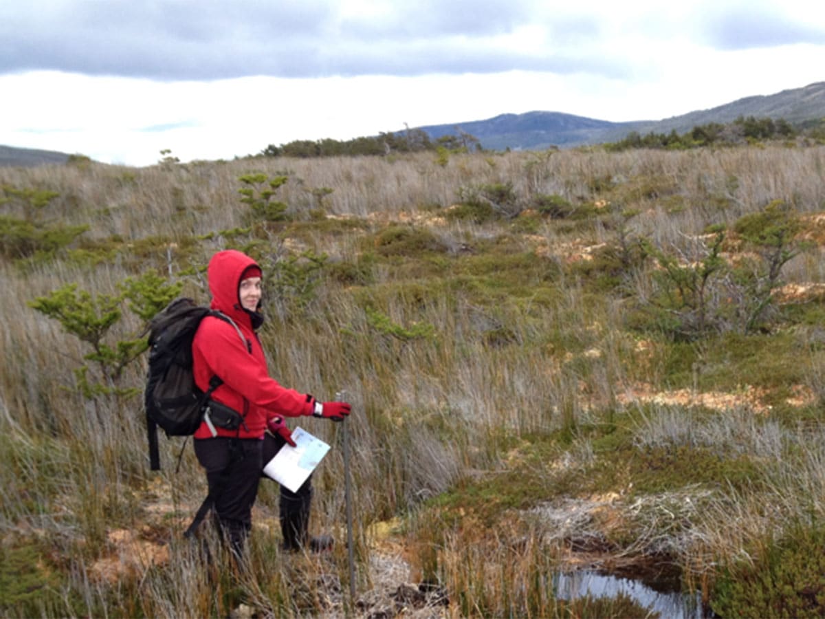
Geological and geochemical mapping
Mapping is an excellent method to utilize in combination with geophysical studies before drilling programs. This allows gathering of ground data from the site and delineate prospective targets for more detailed exploration.
Organizing and supervising laboratory works
Correct testing standards and QAQC procedures will have to be used in the laboratory in order to warrant the credibility of lab results. We organize all the required laboratory works and we also provide third-party supervision upon request.

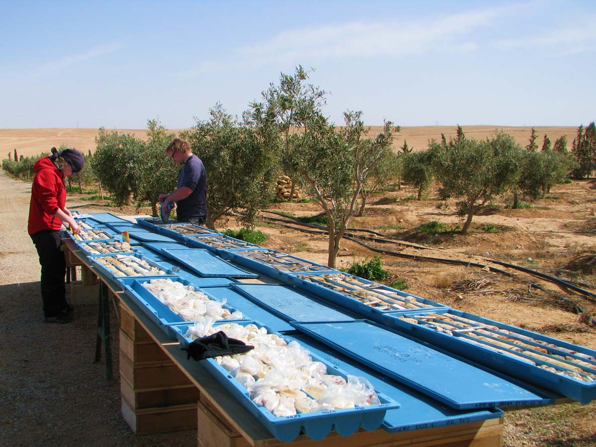
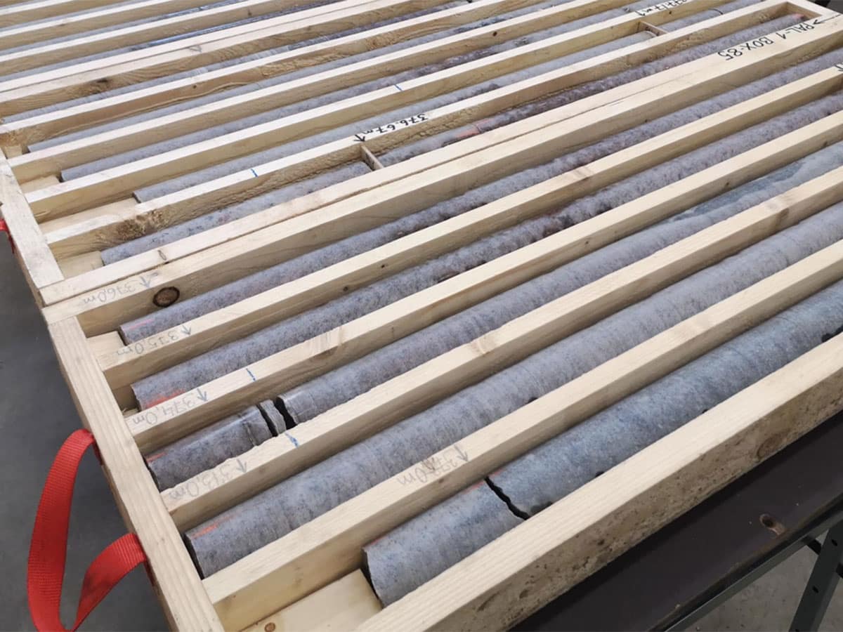
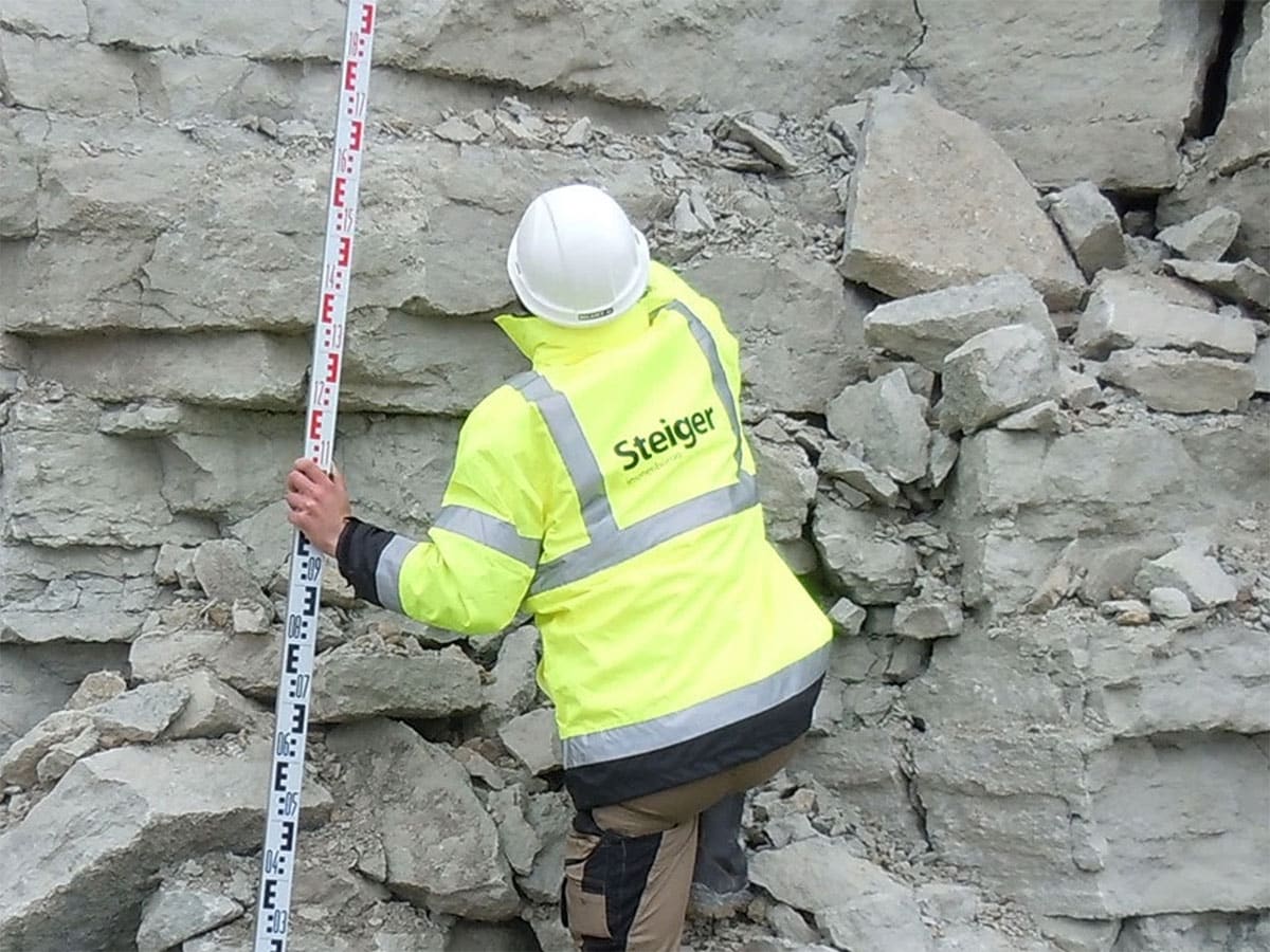
Core logging, sampling & handling
Proper logging, sampling, and sample preparation procedures from lithological descriptions, cutting to crushing and splitting of the samples are imperative to comply with the requirements of the international codes. Our team is well-suited and experienced to ensure this task is fulfilled with high reliability.
Organizing and supervising drilling works
Our geologists and engineers are familiar with all aspects of drilling operations and can competently organize the drilling works. Our team of geologists supervise the drilling works to ensure compliance with the set procedures and quality standards.

Geological interpretations, modeling and resource estimations
To ensure high quality, the exploration data validation is done through the exploration database management process. Geological interpretations based on the gathered exploration data will be transferred to the 3D deposit model by our experienced senior geologists, and if required, the Resource estimates are signed off by our associate Competent Persons.
Topo and mine survey
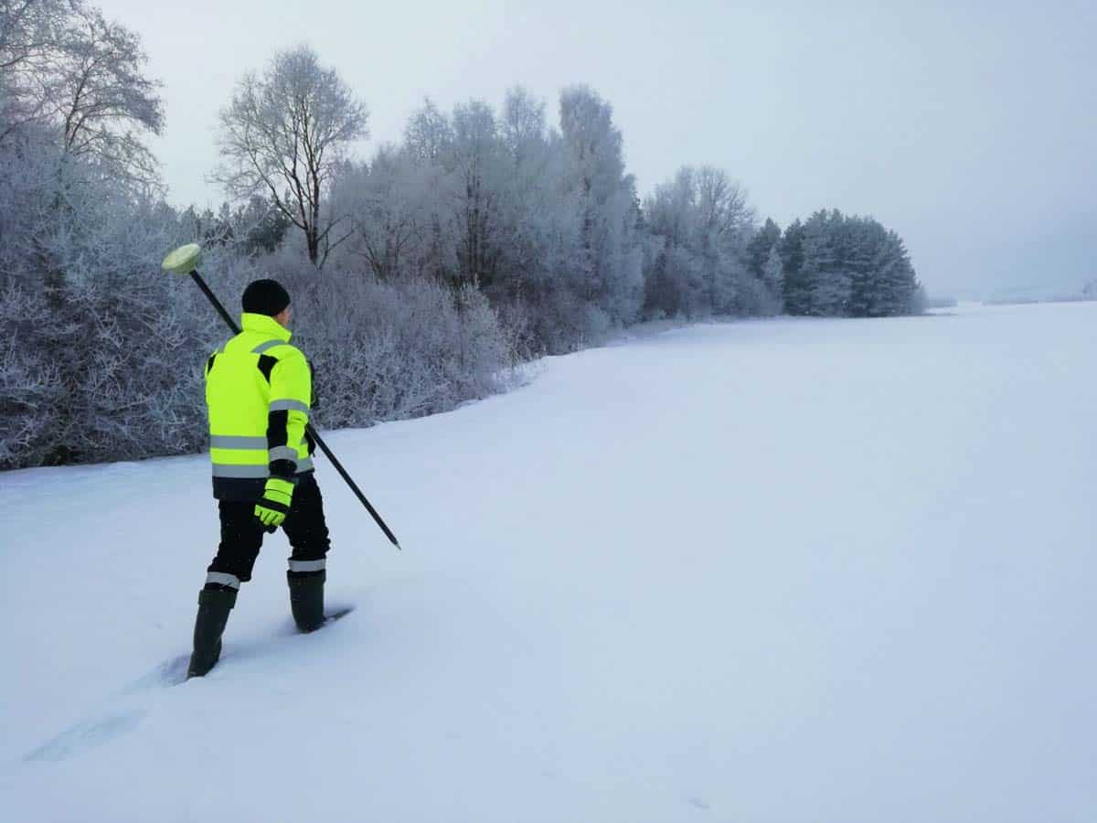
DGPS surveys
Modern DGPS receivers provide fast and reliable cm-level geospatial data even in challenging conditions. Employing skilled engineers and surveyors on site ensures that relevant data is gathered.
Drone survey
The rapid development of drones has opened up new opportunities in the fields of geospacial and geophysics, providing additional data gathering methods which can be a better alternative to conventional ground surveys. We provide magnetic, LIDAR, and photogrammetric drone surveys that are effective alternatives for covering large or hard-to-access areas.
DEM models and topogeodetic maps generation
DEM models and topo-geodetic maps are processed results from gathered geospatial data. Geosciences, civil engineering, and various other industries rely abundantly on accurate topo-geodetic maps and DEM models.

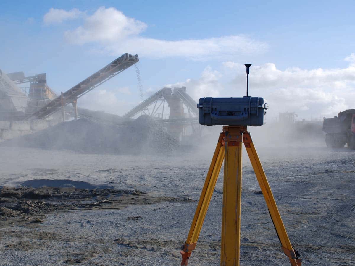
Volumetric modeling and calculations
Mining sector depends heavily on volumetric modelling and calculations to have accurate information about their stockpiles and resource. Vast amount of other volumetric processes could be modelled and calculated as well – earthworks, landfills, various bulk materials etc.
Other services
Our team and associates


Ramjas Kalal
Senior Technician

Bhanwar Singh
Technician

Our Clients